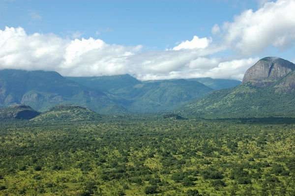
This mountain is at times called Immatong or Matonge and it lies within Imatong state in the southeastern South Sudan. It expands to the northern region of Uganda and earlier eastern Equatoria prior its re-organization of state. Mount Kinyeti on other hand is the highest mountain range and lies at altitude of about 3187 and the highest in the entire of South and North Sudan. This mountain range experiences equatorial kind of climate and featured thick montane forests that inhabit variety of wildlife.
Imatong Mountains
Imatong Mountains range straddle within Torit County on the western side and Ikotos County on the eastern side of Imatong State. It is situated about 190 kilometers southeast of Juba and south of the main road from Torit to the Kenya border with Lokichoggio town. This mountain range stretches steeply from the nearby plains that slop gradually down from about 1000 meters on the South Sudan border area in the south to about 600 meters at Torit in the North.
Most of the plains are crossed by several streams and divided by low rounded ridges and dotted with small gneiss hills outliers of the major mountain range. They formed due to crystalline basement rock which stretches via the tertiary and quaternary unconsolidated deposits of the plains in the South Sudan Uganda frontier zone. The most widely distributed kinds of rock feature leucocratic gneisses endowed quartz. These mountain ranges are sharply faulted and feature as major source of year round rivers. They are the highest in the southeast where there many peaks that stretch up to 3000 meters and Kinyeti is the tallest with 3187 meters. The central block group of high mountains around the mount Kinyeti are usually called the Lolibai or Lomariti while the high central part along the Uganda part is popular as Lomwaga Mountains.
There are also some subranges and they include Modole or Langia Mountains which lie in the southeast of central block which are also divided from the lower Teretenya ridge to the east by River Shilok a tributary of River Koss. These sub ranges stretch to the northwest, west and southwest of the central block. The northwest and west ranges are divided by Kinyeti River valley whereas the west and southwest ranges by the Ateppi valley. They extend up to a height of 2000 meters with peaks at a height of 2400 meters. The northwestern chain culminates in Mount Konoro and Garia which all stand at a height of 2500 meters.
River Kinyeti plus many other streams that also drain the northern slopes of these ranges feed Badigeru swamps that are approximately 100 kilometers long and have a width of about 25 kilometers. Besides, the area is ecologically of great significance as it inhabits wildlife species such as spotted ground thrush while its floral species comprise of deciduous woodland, wooded grassland and bamboo thickets to the north and west. In other parts in the east and southeast, you will find a rain shadow of these mountain ranges with a dry sub desert grassland or deciduous as well as semi evergreen bush. They boast of unique floral species comprising of several hundreds of species that exist in only South Sudan.
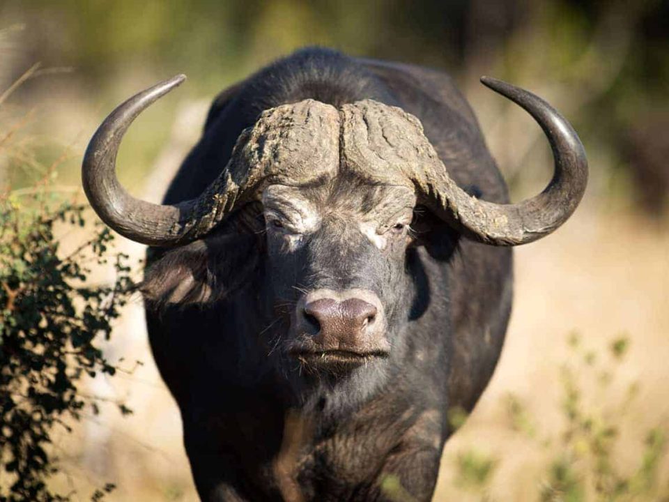
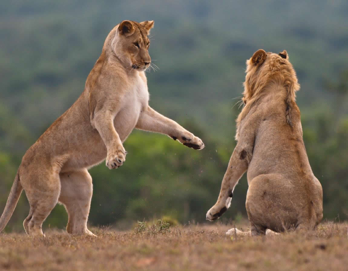
This is mainly due to strategic location of these stunning mountain massifs between the West African rain forest, the Ethiopian plateau and the East African Mountains together with several others. The vegetation cover at the base area comprises of Terminalia, Albizia as well as mixed Khaya lowland semi evergreen forest that thrives at 1000 meters and beyond this point, you will find montane forest with Croton, Podocarpus, Albizia whereas the highest point the forest is replaced by hagenia woodland, heather thicket and some parts with bamboo. The wildlife species to catch a glimpse at this mountain range include colobus and blue monkeys, bush pigs, local bushbucks and on the South Eastern Kipia and Lomwaga. The mammal species that live in this area are distinct from the rest of mammals which are found in most of the parts in the world. It is also an Important Bird Area with mostly spotted ground thrush.
This mountain range is surrounded by the Nilotic people and they include among others Lotuko in the east, Acholi in the west and Lango in the southern side. This ethnic group mainly practices subsistence farming and rear mostly livestock.
How to get to Imatong Mountain ranges?
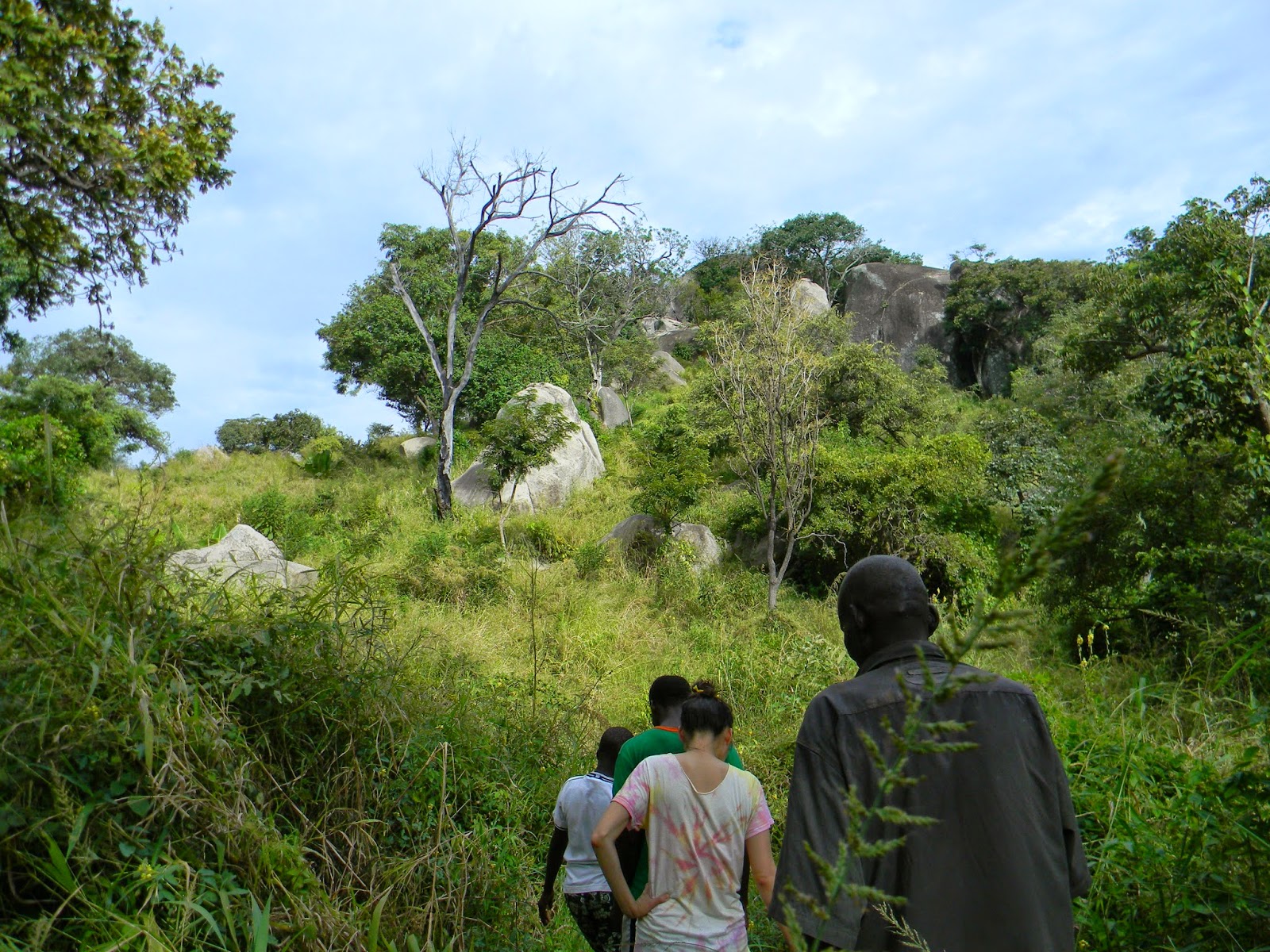
These mountain ranges can be reached through Katire which is an old British forestry station. Katire can be reached via a currently graded dirt route from Torit which is a capital of Eastern Equatoria State. Interested hikers are however encouraged to use a 4 wheel drive cars and you will spend about 3 to 4 hours or besides, you can opt for minibuses to Torit from the main river bridge in Juba. You can also set off from Uganda or use air means from Entebbe, Nairobi or Addis Ababa. It can be best visited during the dry season especially from November to March. The best camp site is at Katire on the old colonial house and the trail usually takes hikers about two to three hours.

